7 produkter
717 Grand Duchy of Luxembourg
Ordinær pris 149,00 krMichelin er en av verdens beste, og best kjente, kartserier. Kartene har glimrende kartografi. Rød serie, kalt “national”. Dekker et enkelt land eller en gruppe land primært med hovedferdselsårer.
Publisert år: 2013
Innbinding: falset
Material: papir
Målestokk: 1:150000
Belgium & Luxembourg
Ordinær pris 169,00 krMarco Polo er svært detaljerte kart som er praktiske og enkle i bruk. 7 klistremerker for å markere spesifikke steder gjør det enda enklere å planlegge reisen. Alle kartene inneholder en omfattende index for enkelt å finne frem.
Belgium with Luxembourg at 1:300,000 on a road map from Marco Polo Travel Publishing with prominent highlighting of interesting locations, enlargements for the environs of Brussels, Antwerp, Bruges, Ghent, Liège and Luxembourg City, plus an index booklet with town centre plans of these cities and brief descriptions of 15 selected top sights, etc. Coverage includes Netherlands south of the Meuse/Maas, and within France extends south-west to Compiège and Soissons.
Cartography is from the renowned German publishers MairDumont. Road network includes minor roads, highlights scenic roads and shows intermediate driving distances on main roads. Railway lines and local airports are included, as well as administrative divisions with names of the provinces. Locations of interest are highlighted, with separate colouring for towns or villages and for natural sites; 15 most interesting sights are cross-referenced to their descriptions in a booklet attached to the map cover. Symbols show locations of campsites, youth hostels, etc. National parks and other protected areas are marked and topography is presented by relief shading. The map has no geographical coordinates. The index listing locations with their postcodes is in the booklet.
Enlargements show in greater detail the environs of Brussels, Antwerp, Bruges, Ghent, Liège and Luxembourg City and the booklet also provides street plans of town centres in these cities, plus lists of airports, UNESCO World Heritage sites and amusement parks. Multilingual map legend and all the text include English.
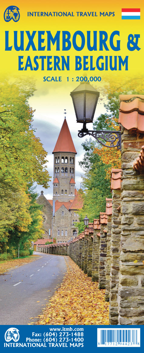
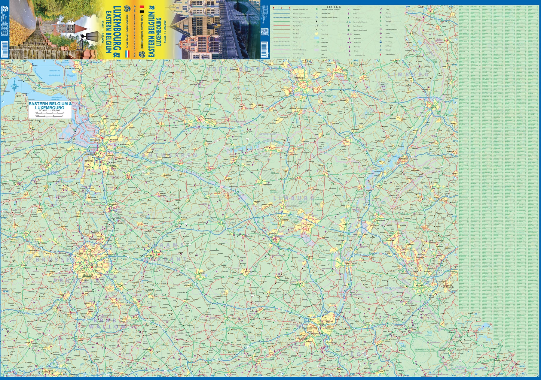
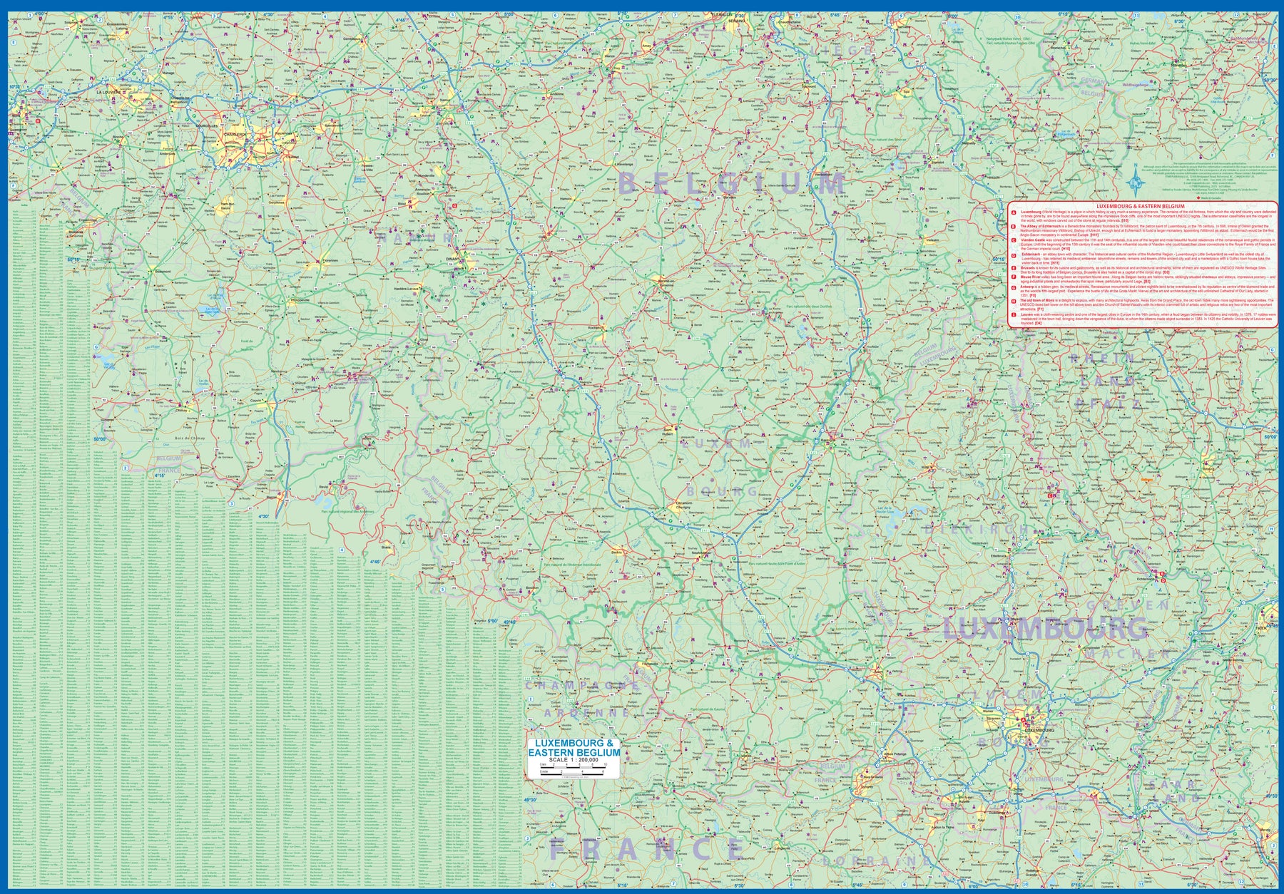
Luxembourg & Eastern Belgium
Ordinær pris 199,00 krLuxembourg is the largest of Europe’s mini-states. We have included the principality on maps of surrounding countries, as most publishers do, but we felt it was time to concentrate on the principality itself and place it into context with its neighbours. Bounded on the west by Belgium, on its east by Germany, and its south by France, Luxembourg has survived for centuries by playing off one large power against another in order to retain its independence. Largely a French-speaking area, Luxembourg is also a strong supporter of the EU. It is a mountainous country, part of the Ardennes region, and close to Bastogne, the focal point of Hitler's last attempt to break the Allies in what is now called the Battle of the Bulge. Bastogne, site of a marvelous WW2 museum, is also on Side 1, as is a portion of Belgium going as far as Mons.
Side 2 concentrates on Belgium east of Brussels, with a small portion of Netherlands included. This includes the Brussels region, Antwerp, Leuven, Liege, and Aachen, with a tiny portion of Germany. Belgium is a larger and more diverse country than many realize. One of the great treasure of eastern Belgium is the cathedral town of Liege, which is known in Flemish as Luik and in German as Luttich, which can make finding it a bit challenging, depending upon whose map one is using, or which road signs one is following!