35 produkter
35 produkter


35 produkter
1 Switzerland Northwest
Ordinær pris 299,00 krSwisstopo er den mest nøyaktige og detaljerte topografiske kartserien over Sveits for turgåere, alpinklatrere, ferierende, individualister og eventyrere. Detaljerte fremstillinger av bosatte områder, hydrografi, vegetasjon og terreng komplette og differensierte med jernbane, vei og rutenettverk.
1327 Evolène
Ordinær pris 249,00 krSwisstopo er den mest nøyaktige og detaljerte topografiske kartserien over sveits for turgåere, alpinklatrere, ferierende, individualister og eventyrere. Detaljerte fremstillinger av bosatte områder, hydrografi, vegetasjon og terreng komplette og differensierte med jernbane, vei og rutenettverk.
1328 Randa
Ordinær pris 249,00 krSwisstopo er den mest nøyaktige og detaljerte topografiske kartserien over sveits for turgåere, alpinklatrere, ferierende, individualister og eventyrere. Detaljerte fremstillinger av bosatte områder, hydrografi, vegetasjon og terreng komplette og differensierte med jernbane, vei og rutenettverk.
1345 Orsières
Ordinær pris 249,00 krSwisstopo er den mest nøyaktige og detaljerte topografiske kartserien over sveits for turgåere, alpinklatrere, ferierende, individualister og eventyrere. Detaljerte fremstillinger av bosatte områder, hydrografi, vegetasjon og terreng komplette og differensierte med jernbane, vei og rutenettverk.
1346 - Chanrion
Ordinær pris 249,00 krSwisstopo er den mest nøyaktige og detaljerte topografiske kartserien over sveits for turgåere, alpinklatrere, ferierende, individualister og eventyrere. Detaljerte fremstillinger av bosatte områder, hydrografi, vegetasjon og terreng komplette og differensierte med jernbane, vei og rutenettverk.
Publisert år: 2018
Innbinding: falset
Material: Papir
Målestokk: 1:25000
26 Silvrettagruppe
Ordinær pris 199,00 kr282 - Martigny
Ordinær pris 249,00 krSwisstopo er den mest nøyaktige og detaljerte topografiske kartserien over sveits for turgåere, alpinklatrere, ferierende, individualister og eventyrere. Detaljerte fremstillinger av bosatte områder, hydrografi, vegetasjon og terreng komplette og differensierte med jernbane, vei og rutenettverk.
Publisert år: 2018
Innbinding: falset
Material: Papir
Målestokk: 1:50000
3 Switzerland Southwest
Ordinær pris 299,00 krSwisstopo er den mest nøyaktige og detaljerte topografiske kartserien over Sveits for turgåere, alpinklatrere, ferierende, individualister og eventyrere. Detaljerte fremstillinger av bosatte områder, hydrografi, vegetasjon og terreng komplette og differensierte med jernbane, vei og rutenettverk.
5022 - Willisau-Sursee Luzern
Ordinær pris 299,00 krSwisstopo er den mest nøyaktige og detaljerte topografiske kartserien over Sveits for turgåere, alpinklatrere, ferierende, individualister og eventyrere. Detaljerte fremstillinger av bosatte områder, hydrografi, vegetasjon og terreng, komplette og differensierte med jernbane, vei og rutenettverk.
Alps
Ordinær pris 169,00 krPerfect touring map - the scale is 1 : 650 000 ideal to help you tour the region by car or campervan. Easy to use - the superbly clear mapping in strong colours and easy to read text will help you navigate the country like a local. Durable, tear-resistant map - designed to withstand the rigors of the road, the map is printed on tear-resistant, water repellent and writeable paper. Highlights included - major sights and key points of interest are marked on the map by numbered stars. Further information about these key sights can be downloaded via a QR code where you'll find a brief description to help you pick the best places to see en-route. Dream routes - inspirational routes with beautiful scenery are included on the maps to guide you on your next adventure. Extensive index - the thorough index, also included on the QR code, is fully cross-referenced to the map to help you pinpoint your destination quickly For the big trips and the little detours, trust Marco Polo's clear mapping and thorough index to guide you around the Alps.
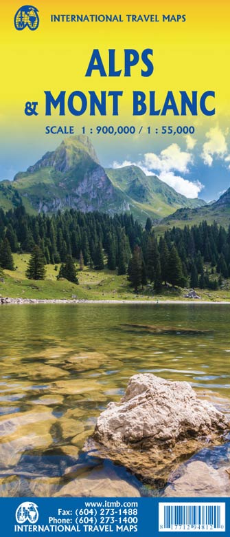
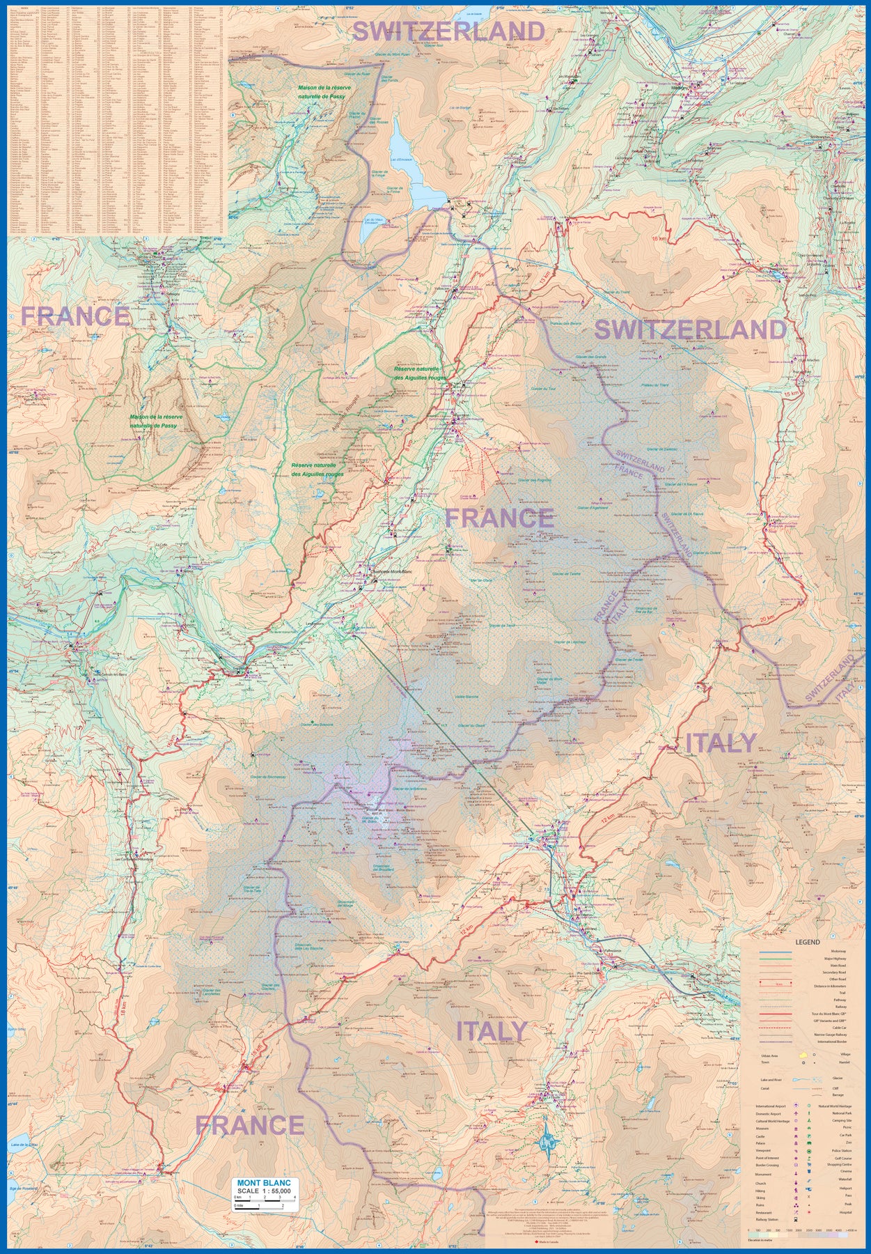
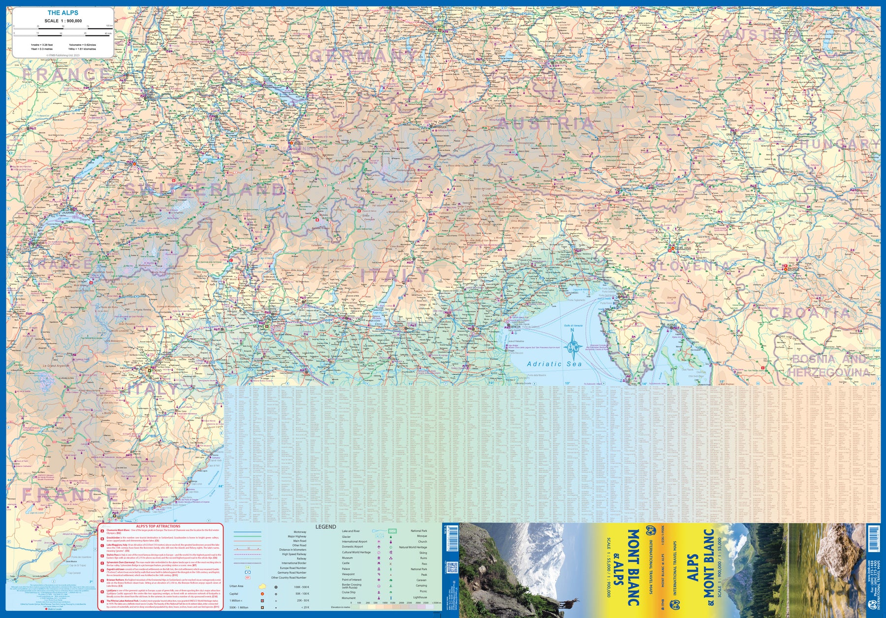
Alps & Mont Blanc
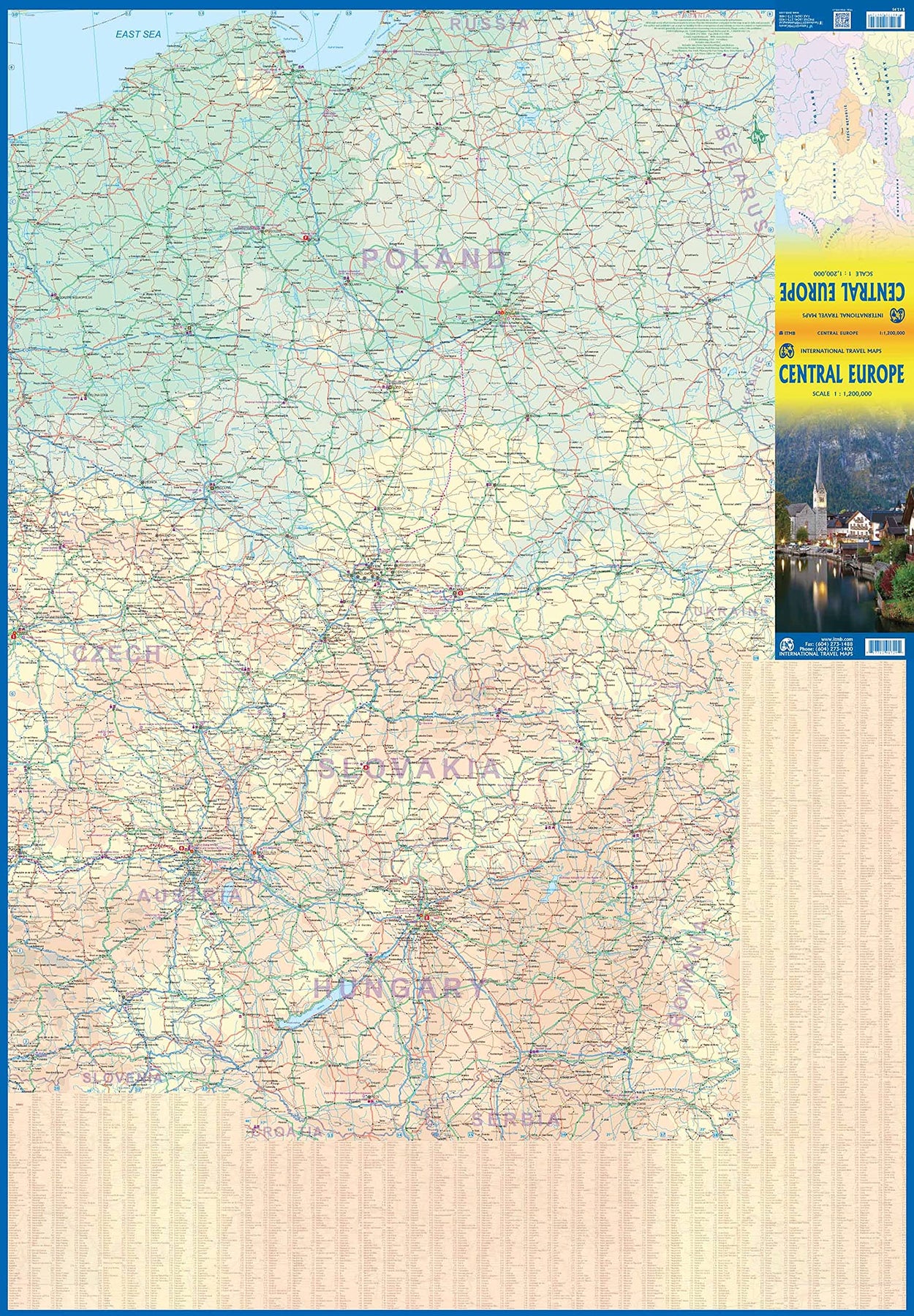
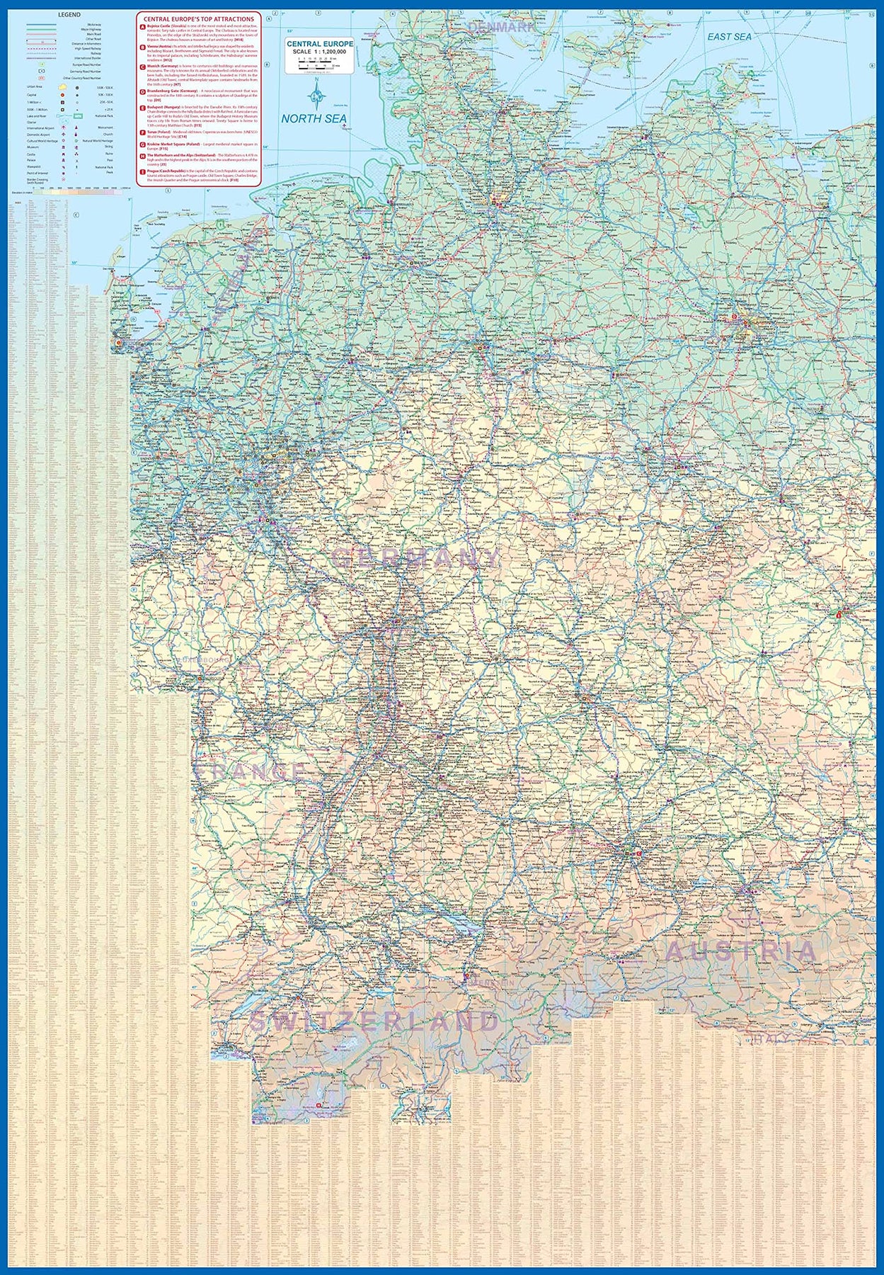
Ordinær pris 189,00 krEurope Central
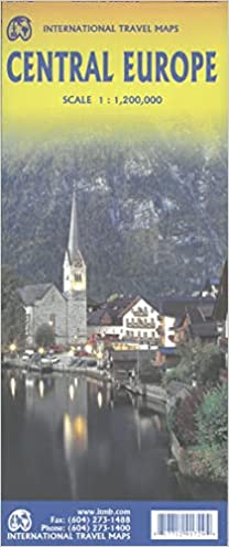
Ordinær pris 199,00 krEurope is fairly big, and densely populated. A map of all of Europe is useful, but at a scale that limits our ability to show information. As a result, last year we published a map of Western Europe. Now, we are pleased to extend our more detailed coverage of the continent with a map covering the Central European countries of Germany, Austria, Poland, Czech Republic, Hungary, Slovakia, and Switzerland, with portions of France, Belarus, Serbia, and Romania. A third map, covering eastern European countries, will be released soon, providing detailed regional coverage of the continent in a way that we hope is pleasing. Germany occupies most of the first side, and Poland the other, with Czech and Slovakia divided between the two sides, and Slovakia/Hungary filling the rest of side 2.
This is a regional map, showing rail lines as well and roads, airports, and major touristic attractions. A listing of the region’s top attractions is included. This map will appeal to those visiting several countries on one trip, by rail or road. Legend Includes: Roads by classification, Rivers and Lakes, National Park, Airports, Points of Interests, Highways, Main Roads, Zoos, Fishing, and much more...
Schweiz / Switzerland
Ordinær pris 209,00 krSwitzerland
Ordinær pris 169,00 krPerfect touring map - the scale is 1 : 275 000 ideal to help you tour the region by car or campervan. Easy to use - the superbly clear mapping in strong colours and easy to read text will help you navigate the country like a local. Durable, tear-resistant map - designed to withstand the rigors of the road, the map is printed on tear-resistant, water repellent and writeable paper.
Switzerland / Schweiz
Ordinær pris 189,00 krTourist & Motoring Atlas: Germany, Benelux, Austria, Switzerland and Czechia
Ordinær pris 239,00 krMichelin er en av verdens beste, og best kjente, kartserier. Kartene har glimrende kartografi.