23 produkter
23 produkter


23 produkter
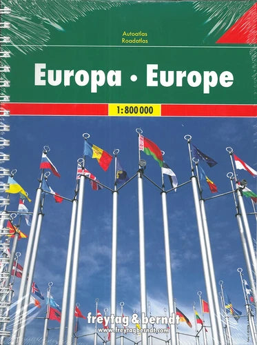
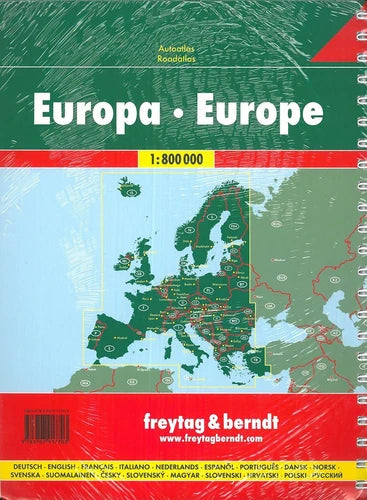
Europa
Ordinær pris 309,00 krFreytag & Berndt Road Atlas.
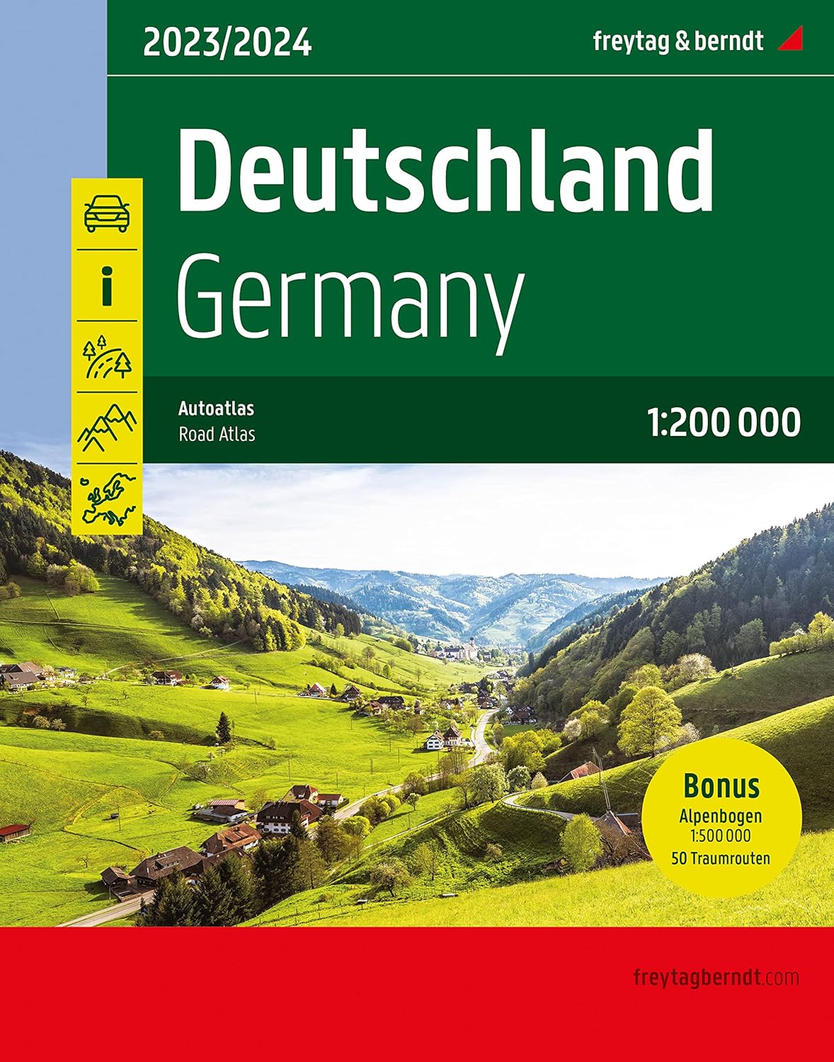
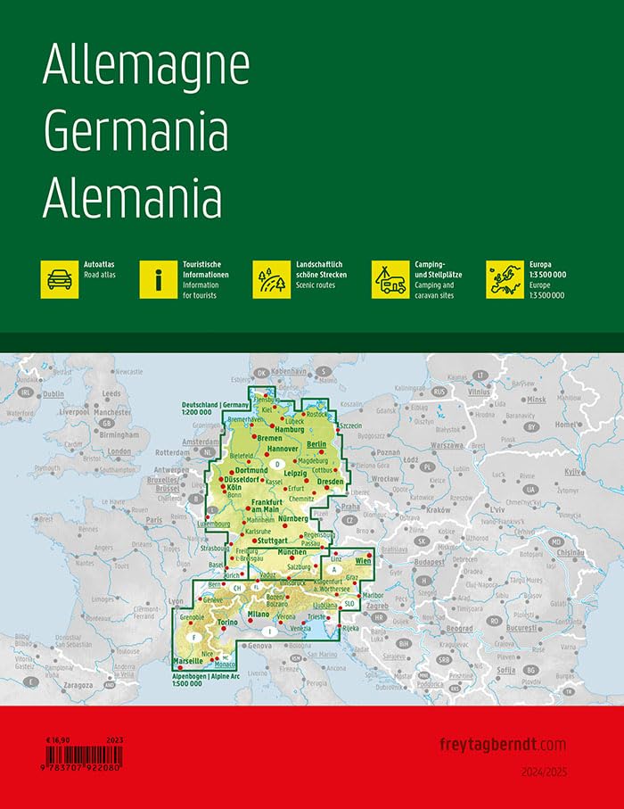
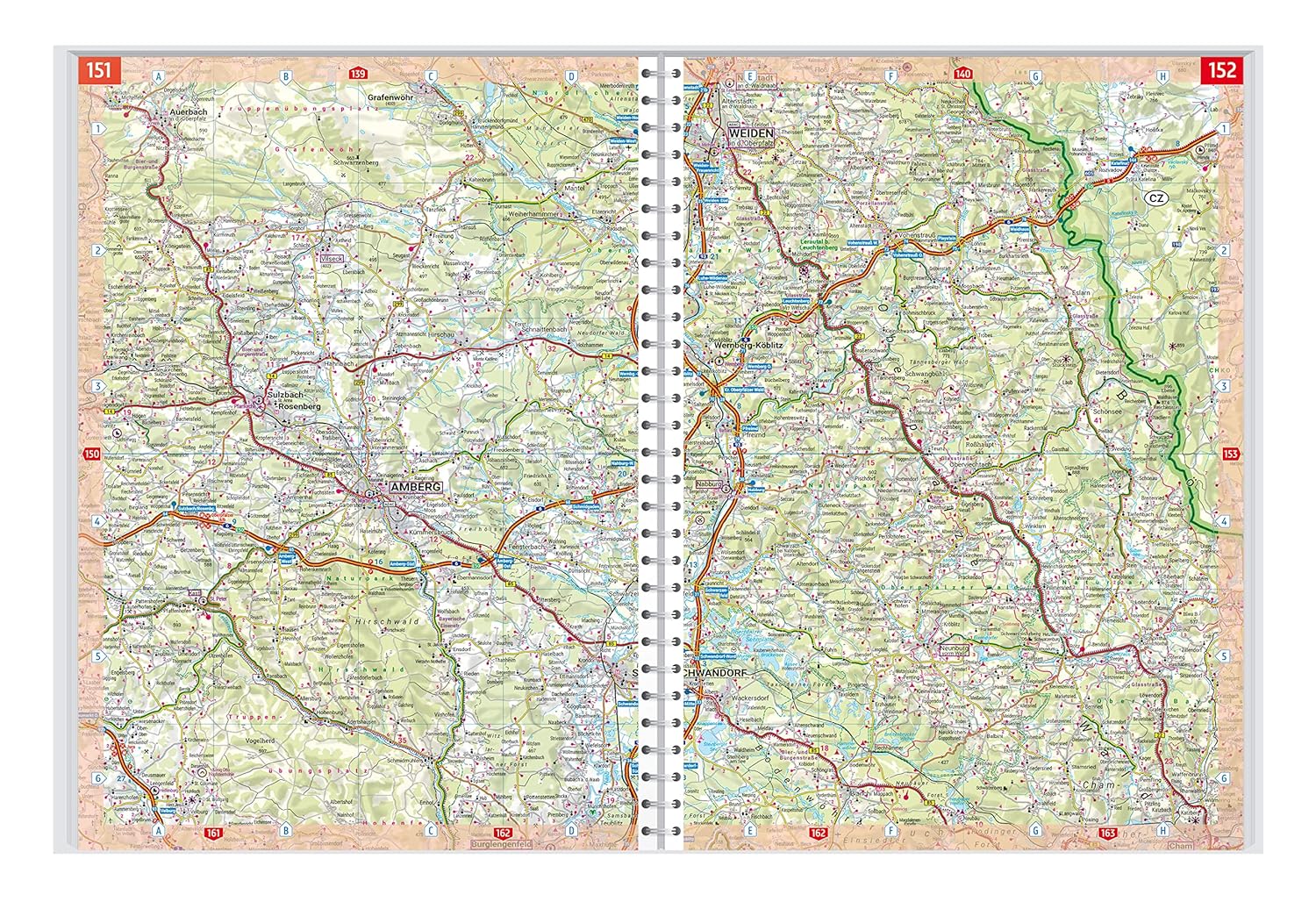
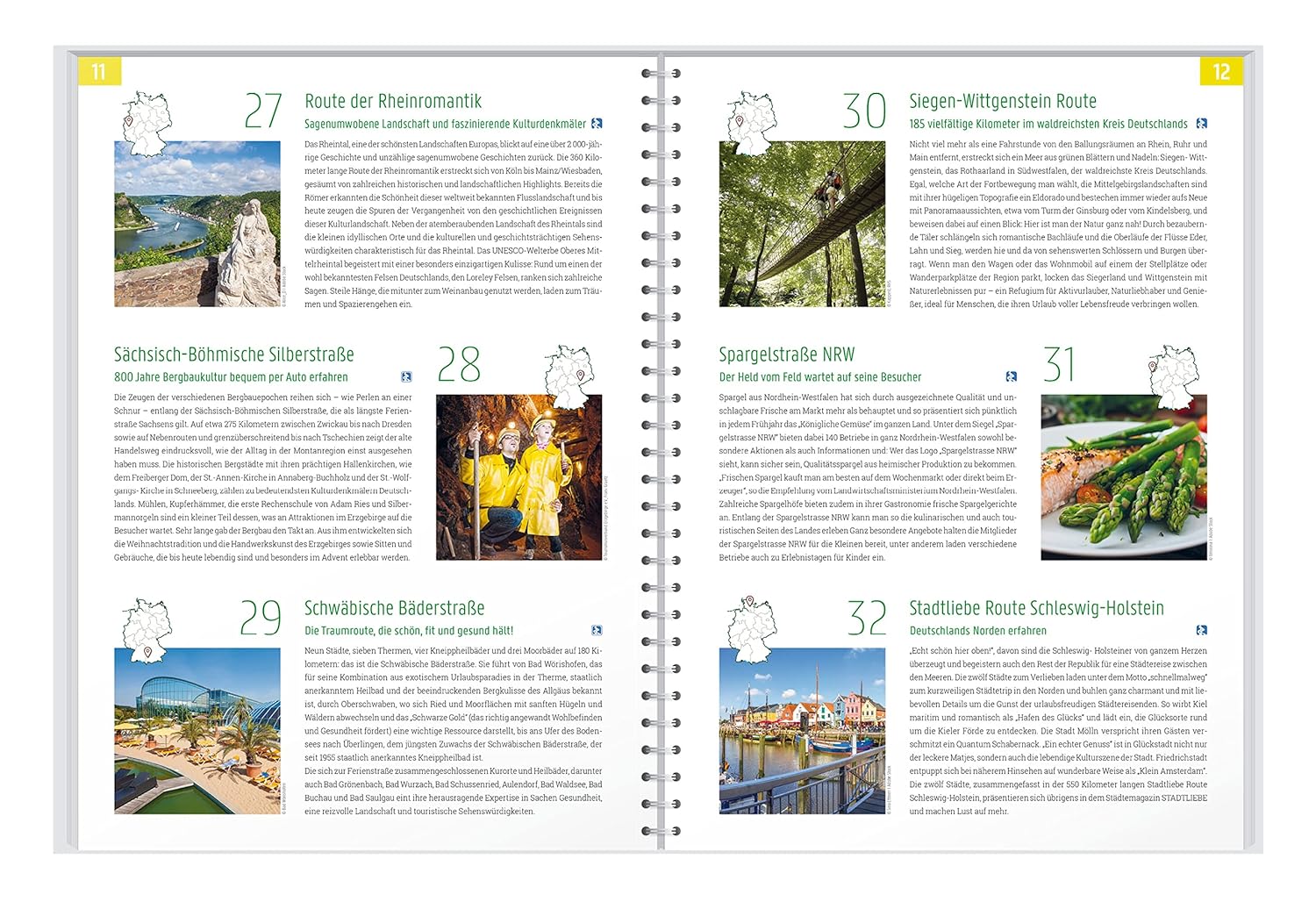
Germany
Ordinær pris 299,00 krFreytag & Berndt Road Atlas.
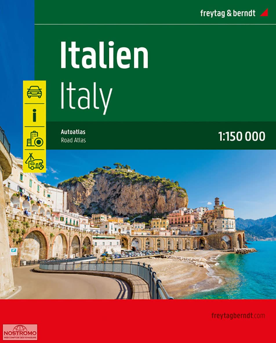
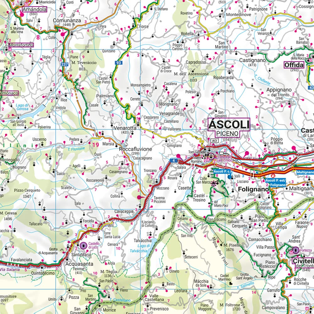
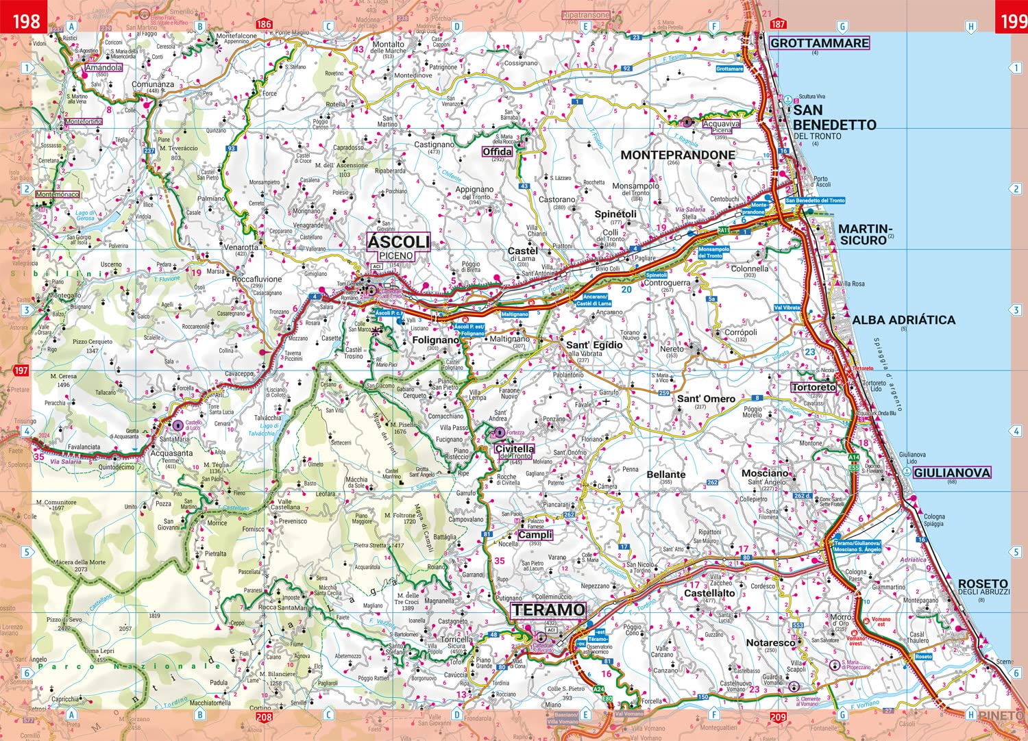
Italy
Ordinær pris 499,00 krFreytag & Berndt Road Atlas.
Atlas: France
Ordinær pris 299,00 krMichelin's France Road Atlas A4 is the perfect companion for safe and enjoyable drive in France. Convenient and easy to use thanks to the spiral bound cover, Michelin France Atlas will provide you with precise and reliable information with its updated mapping scaled 1/200 000 (1 cm = 2 km). Smart and practical, this atlas includes tourist sights, leisure facilities and scenic routes recommended in the famous Michelin Green Guide as well 40 embedded city plans plus 16 with QR codes for easy access to your smartphone for online mapping and tourist information!Michelin's checklist will help you prepare your journey before your leave and Michelin's safety alerts will warn you about dangerous driving areas, such as steep hills and level crossing.
Michelin's route planner as well as the time and distance charts will help you plan and optimise your journey. Michelin's France road atlas will make sure that you make the most of your journey in France!Michelin's France tourist and motorist atlas (A4 spiral) features:* Scale 1/200 000* Spiral bound for lay-flat convenience. * Time & distance charts* Route planner with major itineraries* Tourist sights and scenic drives pulled directly from Michelin's famous Green Guide travel series using the embedded QR codes.
* Extensive place name index for rapid look-up* Location map on top of each page for an easier navigation within the atlas* 40 City maps embedded in the map of their surrounding areas with QR code to guide you through the last few miles of your journey with your smartphone plus 16 QR codes for city plans on your phone
Bilatlas Norge 2022
Ordinær pris 399,00 krCK70 Oslo kartboka
Ordinær pris 329,00 krOslokartboka gir informasjonene for å kunne reise i Oslo og det sentrale Viken, med alle buss-, trikk- tog- og t-bane-holdeplassene med navn og rutenummer. Dessuten vises både sykkelveier og bomstasjoner tydelig. Stort register med over 27 000 navn!
Iceland
Ordinær pris 449,00 krThe Travel Atlas Iceland 1:150,000 is the ideal companion for anyone who wants to explore Iceland by car or public transport. It can not only be used for planning, but also proves to be an indispensable guide during the trip.
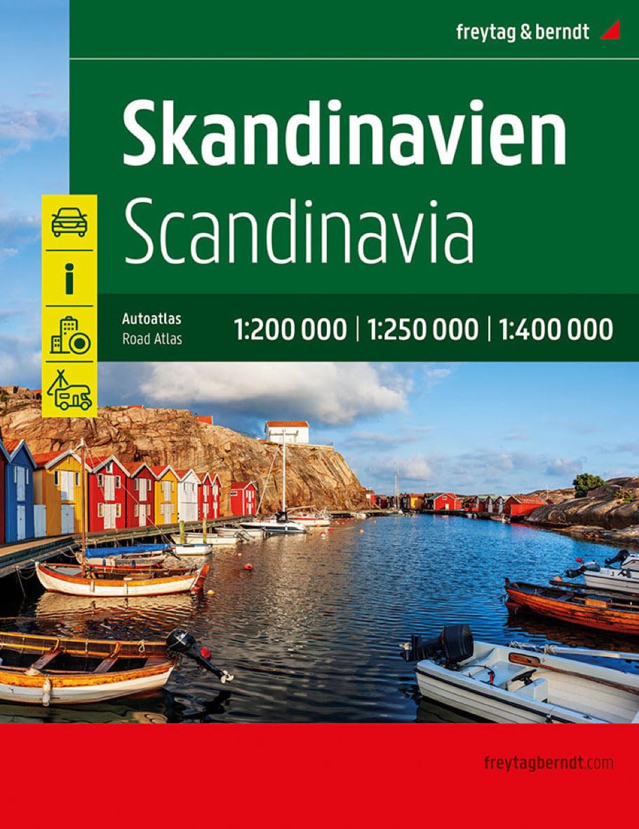
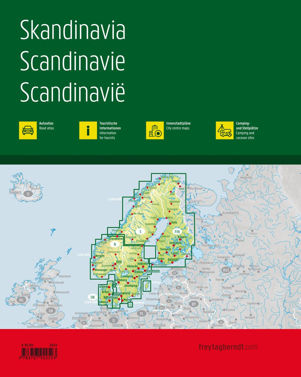
Skandinavia
Ordinær pris 499,00 krFreytag & Berndt Road Atlas.
Målestokk: 1:200.000 1:400.000
Utgitt: 2022
Tourist & Motoring Atlas: Benelux 2024
Ordinær pris 239,00 krMichelin er en av verdens beste, og best kjente, kartserier. Kartene har glimrende kartografi.
(Updated 2024) Michelin Road Atlas Benelux and North of France is the perfect companion for an enjoyable and safe drive. Convenient and easy to use thanks to its spiral bound cover. Michelin Road Atlas Benelux and North of France will provide you with precise and reliable information with its mapping scaled 1/150 000 for an enjoyable journey in Northern France, Belgium, Luxembourg and Netherlands.
The route planner as well as the time and distance charts will help you plan and optimise your journey, whilst new location maps on top of each page as well as highly practical street maps will ensure an easy navigation within the atlas. Tourist sights, leisure facilities and scenic routes will add pleasure to your journey. In addition to clear and accurate mapping, the Michelin motoring atlas Benelux and North of France will help you optimise and add comfort to your journey: Detailed mapping with a scale 1/150 000 Mileage chart and journey times to help you plan your journey. European route planne.r Key to Map Pages to quickly access your region of interest. 68 town plans for easy navigation in urban areas. An extensive place name index to easily identify the destination of your choice. Comprehensive and detailed key to symbols used. Tourist information with place of interest and leisure facilities, as well as scenic routes. Michelin Safety Alerts (Steep gradients, dangerous routes, zones subject to tighter speed controls. Location maps on top of each pages for an easy navigation within the atlas. Highly practical street maps embedded in the map of their surrounding areas Coverage: Netherlands Belgium Luxembourg & North France (Calais to Gisors to Thionville).
Tourist & Motoring Atlas: Spain & Portugal
Ordinær pris 279,00 krMichelin Spain & Portugal Tourist and Motoring Atlas is the perfect companion for a safe and enjoyable drive. Convenient and easy to use thanks to its spiral bound cover, the atlas will provide you with precise and reliable information with its annually updated mapping scaled 1/400 000 (1 cm = 4 km) and safety alerts. The route planner, as well as the time and distance charts will help you plan and optimize your journey, whilst the new location map on top of each page and the highly practical street maps will provide you with an easy navigation within the atlas.