Filter
- Algerie
- Angola
- Benin
- Botswana
- Burundi
- Djibouti
- Egypt
- Eritrea
- Eswatini
- Etiopia
- Gabon
- Ghana
- Kamerun
- Kapp Verde
- Kenya
- Komorene
- Kongo
- Lesotho
- Libya
- Madagaskar
- Malawi
- Maldivene
- Mali
- Marokko
- Mauritania
- Mosambik
- Namibia
- Niger
- Nigeria
- Rwanda
- Seychellene
- Sierra Leone
- Somalia
- Sudan
- Sør-Afrika
- Sør-Sudan
- Tanzania
- Togo
- Uganda
- Zimbabwe
31 produkter
31 produkter

Togo & Benin
Ordinær pris 169,00 kr/
Mva inkludert
Frakt beregnes i kassen.
ITM har kart over hele verden og de spesialiserer seg på land litt utenfor allfarvei. Beliggenheten til landets nasjonalparker, historiske monumenter, de viktigste veiene og lignende finner du inkludert i kartene. Samtlige landkart har ofte et bykart over hovedstaden.
Fra ITM: The two small countries squeezed between Ghana on the west and Nigeria on the east developed out of the European colonialization of most of Africa Germany, under Kaiser Bill, was determined to create an empire to rival that of Britain, and seized a portion of the coastline close to the British-held area of Ghana and held on to it until WW1 ended Germany’s colonial aspirations. Britain and France jointly governed Togo briefly, but the territory was ceded to France until independence was granted in the 1960s. Neighbouring Benin (formerly the French colony of Dahomey) was all that the French colonial office could obtain of the rich coastal plain until the German defeat in WW1, which gained it Togo and German Cameroun, further to the east. Both countries have their points of interest, but to this day have little to do with each other. There is one border crossing on the coast, and a couple of others much farther inland, but each country operates on a north-south basis, not an east-west one. The map includes inset maps of Lome, the capital of Togo, and Porto Novo, in Benin, which is now the capital. Togo’s best sites are noted in a red inset box, with a separate box for Benin.
- Publisert: 2019
- Innbinding: Falset
- Materiale: Papir
- Målestokk: 1:530 000


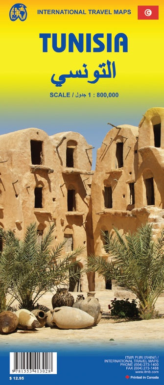
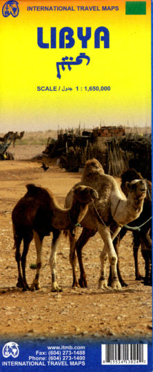
Tunisia & Libya
Ordinær pris 149,00 kr/
Mva inkludert
Frakt beregnes i kassen.
ITM har kart over hele verden og de spesialiserer seg på land litt utenfor allfarvei. Beliggenheten til landets nasjonalparker, historiske monumenter, de viktigste veiene o.L. Finner du inkludert i kartene. Samtlige landkart har ofte et bykart over hovedstaden.
Publisert år: 2011
Innbinding: falset
Material: plastpapir
Målestokk: 1:1650000


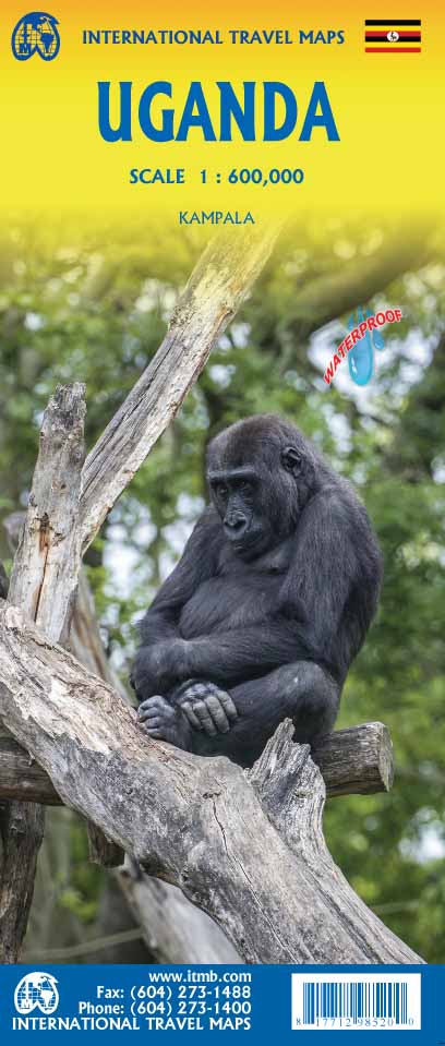

Uganda
Ordinær pris 189,00 kr/
Mva inkludert
Frakt beregnes i kassen.
ITM har kart over hele verden og de spesialiserer seg på land litt utenfor allfarvei. Beliggenheten til landets nasjonalparker, historiske monumenter, de viktigste veiene og lignende finner du inkludert i kartene. Samtlige landkart har ofte et bykart over hovedstaden.
Fra ITM: The Jewel of Africa, Uganda is a lovely country to visit. Most of the development is in the south, close to Lake Victoria. To me, the most interesting parts are the game parks in the far west and in the far north, but the Mount Elgon area is interesting as well. This updated map also includes a large inset map of Kampala, the capital. The map has been updated to last for the next few years and, by being printed on plastic, is guaranteed to remain durable as well as waterproof.
- Publisert: 2022
- Innbinding: Falset
- Materiale: Vanntett papir
- Målestokk: 1:600 000